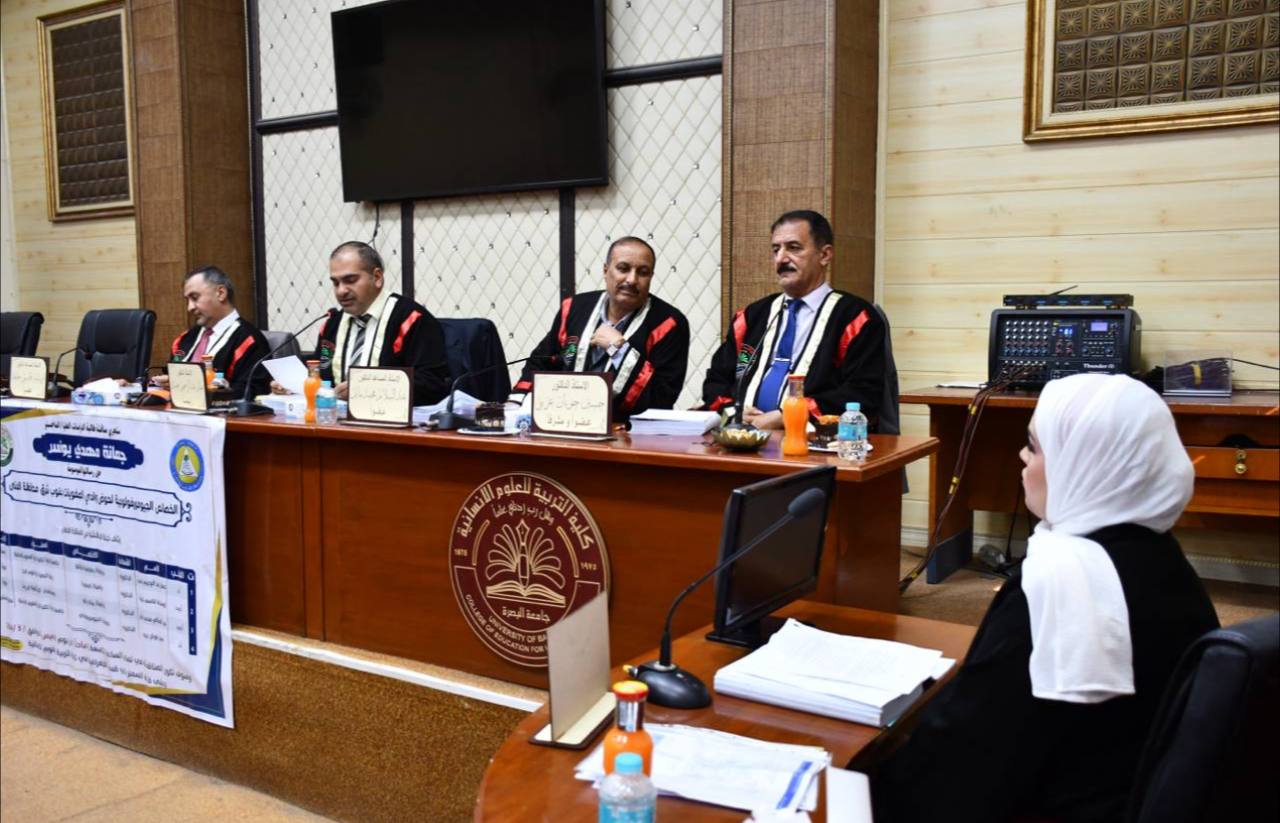
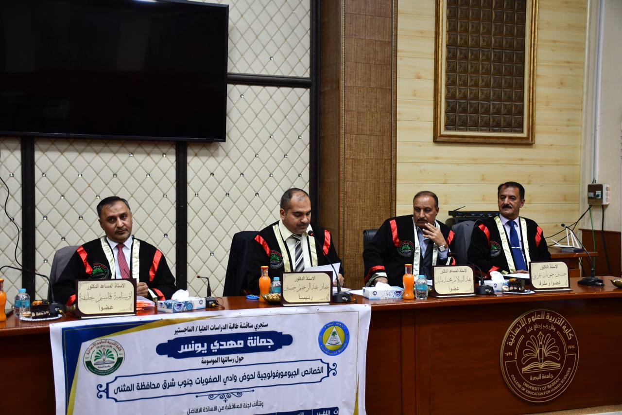
A master’s thesis in the Department of Geography - College of Education for Human Sciences - University of Basra examined (the geomorphological characteristics of the Wadi Al-Safiyat basin, southeast of Al-Muthanna Governorate), a study in physical geography by the student (Jumana Mahdi Younis Al-Ghazi).
The study aimed to know the geomorphological characteristics of the Wadi Al-Safawiyyat basin, one of the seasonal valleys in the western plateau in Al-Muthanna Governorate in the eastern regions, including to analyze the geomorphological factors and processes that contributed and continue to contribute to the geomorphological development of the Wadi Al-Safawiyyat basin, and to clarify some basic points in the geomorphological field, considering that the core of geomorphological work It is describing, classifying and interpreting the forces, processes and landforms on the surface of the Earth and finding spatial relationships between those forms and the extent of their impact on various human activities.
The thesis included five chapters preceded by an introduction and a conclusion with findings and recommendations, as follows:
• Chapter One: This chapter dealt with the geographical features of the Wadi Safawiyyat Basin, represented by (geological formation, climate gradient, soil, natural vegetation, and human factors).
• Chapter Two: This chapter dealt with the study of the geomorphological processes affecting the formation of the lands of the basin and Wadi Safawiyyat (morphotectonic processes, morpho-climatic processes, morphodynamic processes).
• Chapter Three: This chapter discussed the landforms in the Wadi Safawiyyat Basin (erosion forms, morpho-climatic landforms, and human-made forms).
• Chapter Four: Includes a study of morphometric characteristics.
• Chapter Five: Includes applied investments and geomorphological risks in the Wadi Safawiyyat Basin.
At the conclusion of the study, the results and proposals were presented, as well as a list of sources and a summary in English.
The message was concluded by Mayati.
Geological formations vary between the formations of the Tertiary and Quaternary eras, such as the Dabdaba Formation, depression fills, and depression deposits. The Dabdaba Formations constitute approximately (292.38) km2, which is equivalent to (66.67%) of the area of the basin, followed by depression fill deposits. Human factors have a role in changing the natural features of the basin lands. Through his various activities, especially extractive and pastoral operations, the surface worker, who is characterized by his small ramifications, plays a major role in practicing many activities, such as agriculture, methods of transport and settlement. Through laboratory analyzes of groundwater samples from wells that are not suitable for drinking by humans, the study showed the geomorphological risks to which the region was exposed. Including morpho-climatic risks, especially wind and water erosion