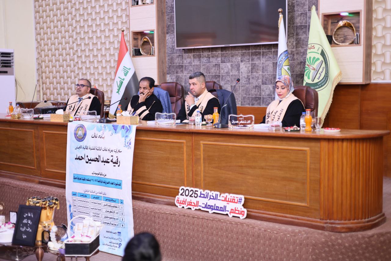
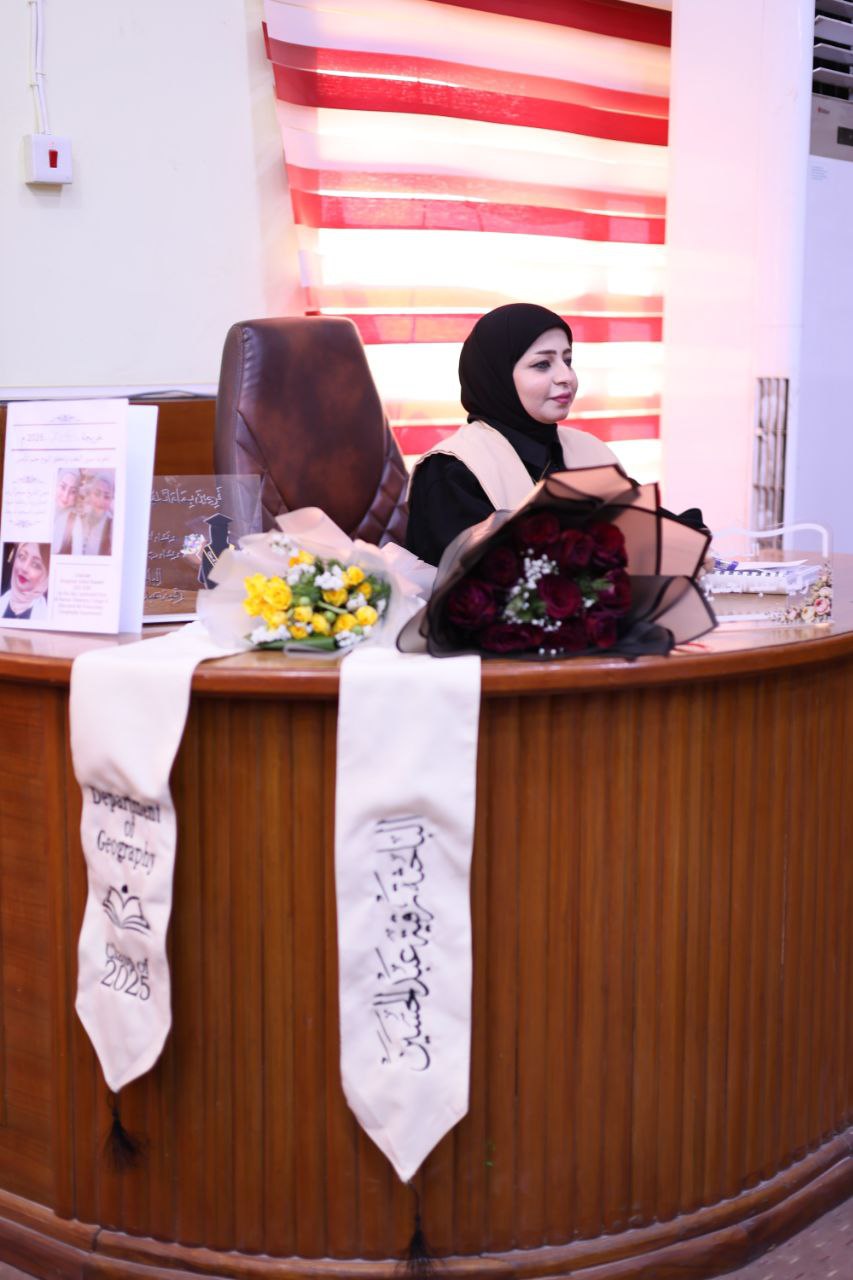
The College of Education for Human Sciences at the University of Basra investigated changes in vegetation cover in Al-Qurna District during the period 1986-2024 using modern geographic techniques. The study, presented by student Ruqaya Abdul Hussein Ahmed, aimed to analyze the spatial and temporal changes in vegetation cover in Al-Qurna District using Landsat satellite data between 1986 and 2024. The study relied on summer imagery as it is the most accurate representation of seasonal variation in vegetation cover. The study employed a guided classification technique using the maximum likelihood method to analyze land cover types, utilizing the NDVI index to determine the level of change in plant density. The results revealed a significant decline in green areas, decreasing from 41.8 km² in 1986 to negative levels in most subsequent years. The lowest value was reached in 2016 at approximately -30.2 km², before rising slightly in 2024 to -46.7 km². The study concludes that there is a general trend towards continuous deterioration due to accumulated environmental, climatic, and human factors. The thesis included the effectiveness of modern geographic technologies, represented by remote sensing and information systems, in providing an important and accurate basis when studying green cover through the ability of satellites to cover large areas simultaneously, which allows for the study of variables and the provision of information periodically and continuously over long periods of time. Also, the use of geographic technologies saves time and effort and reduces the financial costs in the process of calculating areas