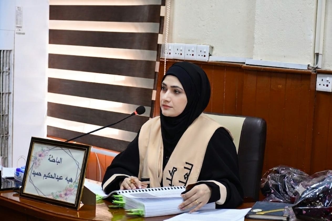
A PhD dissertation at the University of Basra examines the classification and evaluation of agricultural soils in Maysan Governorate.
A doctoral dissertation at the College of Education for Humanities explored the classification and evaluation of agricultural soils in Maysan Governorate using remote sensing and geographic information systems (GIS) techniques.
The dissertation, submitted by researcher Heba Abdul-Hakim Hamid, aimed to classify and evaluate the agricultural soils of Maysan Governorate according to the latest international standards. Through an intensive field study encompassing 230 samples, the researcher demonstrated exceptional ability to move geographical studies from the realm of traditional description to advanced statistical and spatial modeling. The dissertation included the development of the "Maysan Agricultural Soil Quality Index," an advanced mathematical model that employs Principal Component Analysis (PCA) and spatial analysis algorithms to derive weights for environmental characteristics with mathematical objectivity, thus overcoming human bias and the shortcomings of readily available international indices. Furthermore, a smart geospatial tool was developed; a specialized digital application called the "Heba Soil Quality Index Tool" was designed to operate within a Geographic Information Systems (GIS) environment.