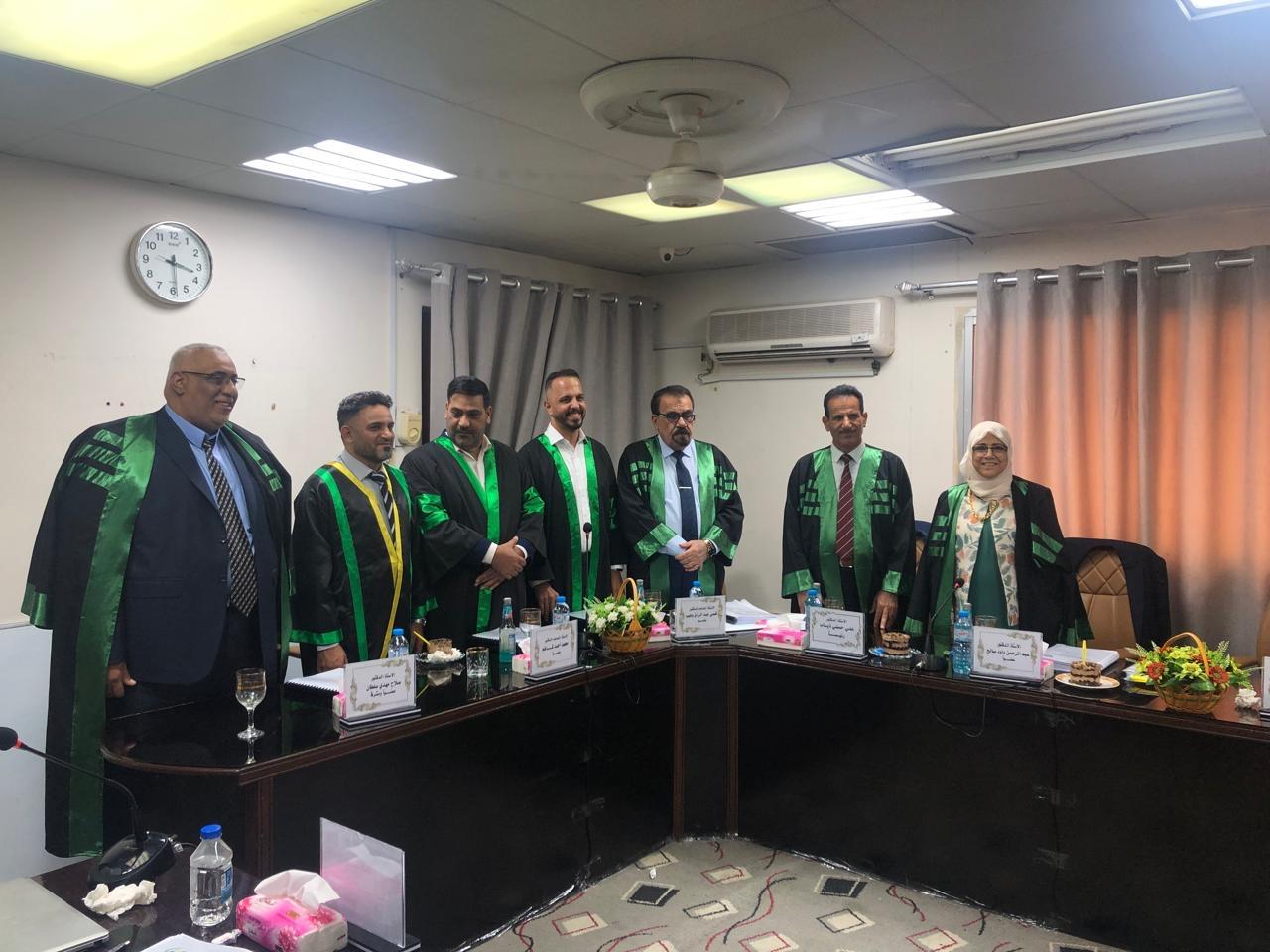
A doctoral thesis at University of Basrah discusses the separation and distribution of soil units to suit them for agricultural purposes in northern Basrah Governorate.
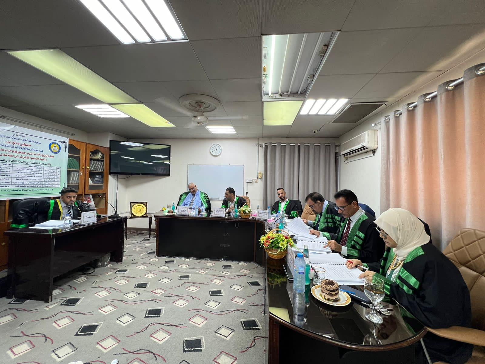
A doctoral thesis at College of Agriculture at University of Basrah discussed the separation and distribution of geomorphological soil units by adopting geospatial technologies and evaluating their suitability for agricultural purposes in the north of Basrah Governorate.
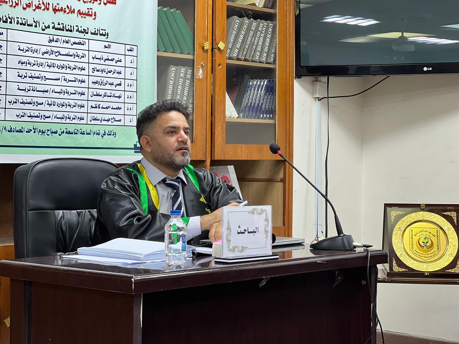
Researcher Mustafa Saleh Ali’s thesis included a study of the soil of northern Basrah Governorate, which suffers from the problem of salinity, which is considered one of the most serious challenges facing the region and Iraq in particular.
This study aims to separate the soil units of the study area using geospatial technologies and applying the fuzzy approach combined with geospatial technologies to evaluate the lands located there for the purposes of irrigated agriculture. Twelve sites were selected for soil plows, as well as 24 auger holes to two depths of 0-50 and 50-100 cm, distributed In three physiographic units: river levees soils , river basin soils, and marsh soils.
The thesis recommended the possibility of using the proposed equation to evaluate the suitability of lands for growing wheat, barley, and palm trees, as they are of great importance in determining suitable lands for growing the crop with high efficiency.
Department of Media and Government Communications