Basrah University Organizes a Course on Electronic Marine Charts and Satellite Navigation
The Center for Marine Science at Basrah University organized a training course on electronic marine charts and navigation using satellite maps (GPS).
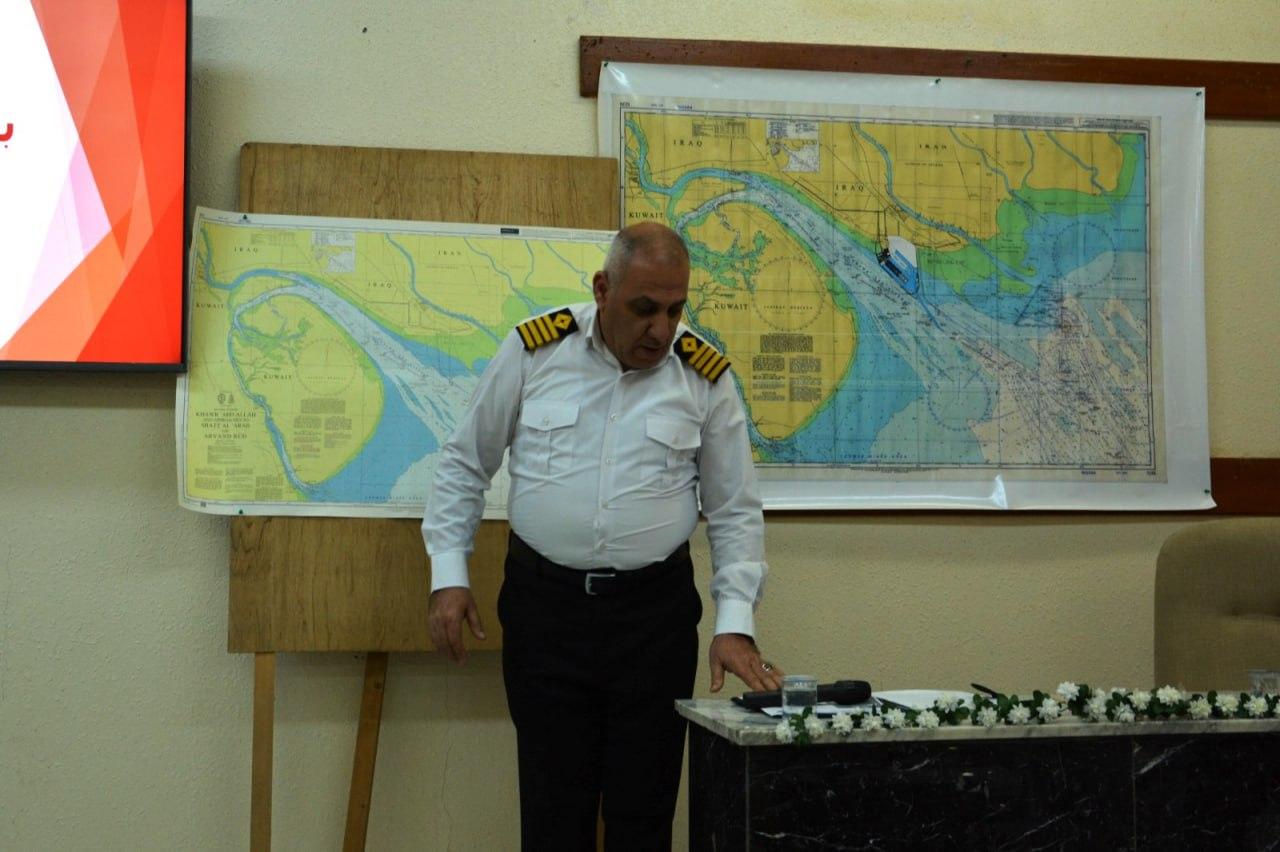
The course, led by maritime captain and expert Taif Sabri Hameed, covered the features of admiralty marine charts, how to read the symbols and information recorded on them, and how to use satellite and GPS technology in navigation. It also discussed the importance of the Global Positioning System (GPS) as the fastest and most accurate means for marine navigation with respect to speed measurement and location determination, providing higher levels of safety and efficiency for marine crews worldwide.
The course clarified international maritime agreements, codes, and protocols issued, and explained how to sustain fishing activities, promote sustainable development, track fish migrations, survey depths, identify navigational hazard locations, draft maps, and achieve strategic goals for preparing and developing the marine surveying sector.
Department of Media and Government Communication